




















Credit: Shutterstock
The wildfire doesn’t wait. But for the first time, neither does the science.
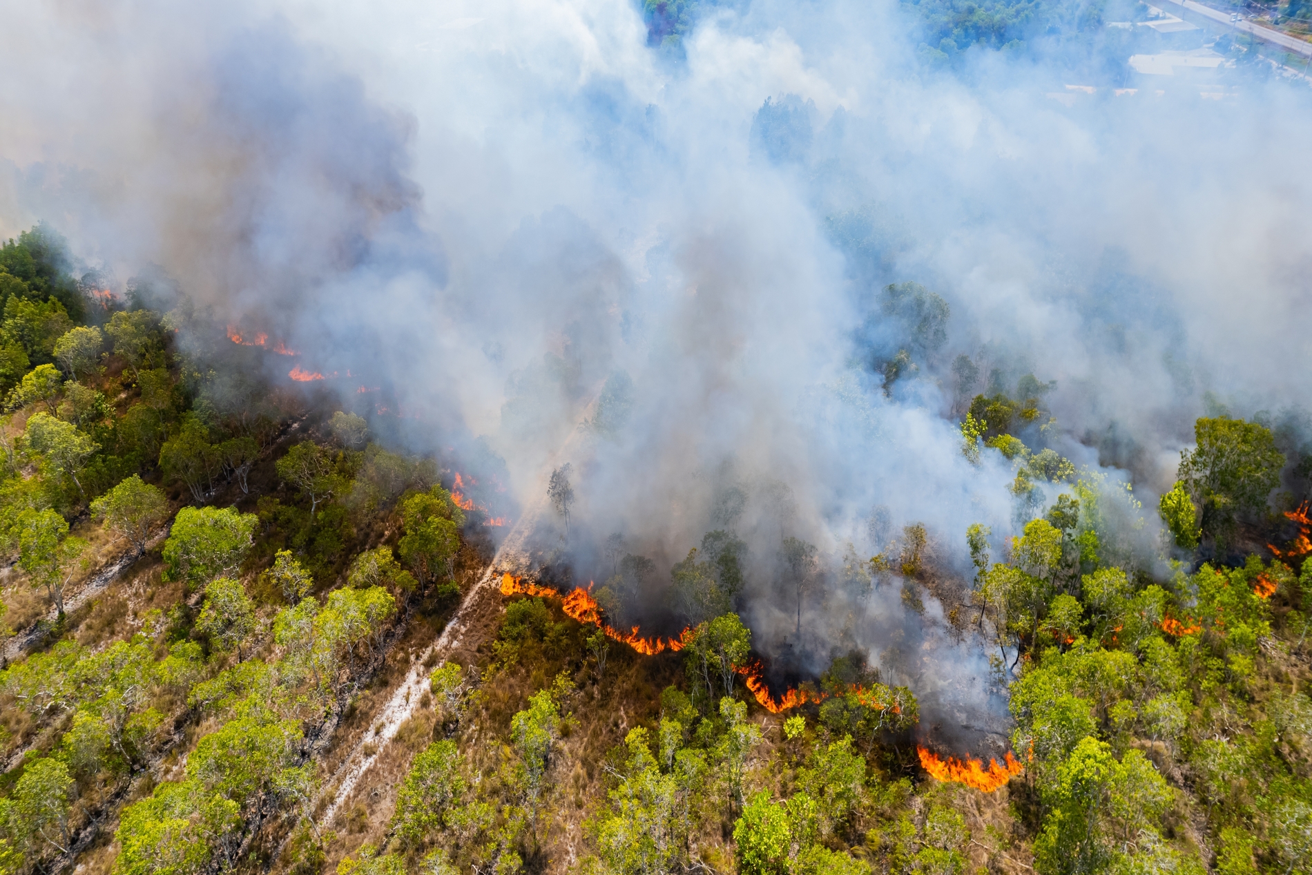
Wildfires don’t follow a timetable or give you time to think. One moment you’re home and the next, you’re grabbing whatever matters most and trying to figure out which road out of town isn’t already cut off by flames.
That’s exactly what happened to Assad Oberai, an aerospace and mechanical engineering professor at USC Viterbi, when the Eaton Fire tore through Southern California in January 2025. It was one of the most destructive fires in the state’s history, burning over 9,400 structures. Oberai was evacuated from his own home.
This incident hit him hard, and he came back to his lab and got to work on predicting the wildwire trajectory.
The Problem With Predicting Fire
Wildfires are computationally messy. A chaotic tangle of variables, such as wind speed, humidity, vegetation density, terrain slope, and ignition time, governs them. Any one of those can flip a manageable situation into a catastrophe within minutes.
For decades, fire management has been largely reactive. Firefighters watch, wait, and respond to what they can already see.
Oberai wants to change that.
Back in July 2024, his research group, the Computation and Data Driven Discovery (CD3) team, published a model that fused generative AI with satellite data and physics-based simulations to forecast a wildfire’s path, growth rate, and intensity. It was a genuine breakthrough. But they knew it wasn’t quite there yet.
There were missing pieces.
The Satellite Problem
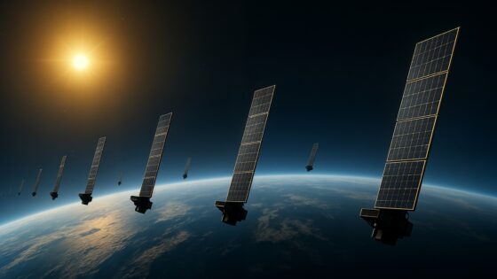
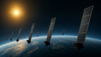
The original AI model leaned heavily on data from VIIRS, a polar-orbiting satellite that detects heat signatures with impressive spatial precision within a few hundred meters.
But there was a problem with it. It only passes over the same location twice a day. So you get sharp snapshots but not very often.
It was like trying to track sprinting athletes by looking at a photo of them every 12 hours. You know where they were. You have no idea where they are now.
The new AI model, published in the journal Remote Sensing, addresses this problem. The team brought in a second satellite: GOES, a geostationary satellite that watches the same region continuously and refreshes every five minutes. GOES isn’t as spatially sharp as VIIRS, but it pinpoints when exactly the fire started.
Why “When” Matters as Much as “Where”
“If I’m aware that the fire started 10 hours ago, I gain a sense of its pace of growth,” Oberai explained. “If the fire has covered the same amount of ground in two hours, I know that it’s spreading rapidly, and that will prompt me to make different decisions.”
Knowing when the fire started tells you how fast it’s moving, where it’s likely heading next, and how urgently you need to act. That single piece of information removes one of the biggest guesses from the equation, right at the moment when getting it wrong is most costly.
Reading the Land
The updated AI model also does something the original didn’t: it reads the terrain.
Fire behaves differently depending on the ground beneath it. Everyone who’s ever watched a campfire on a slope knows that flames climb. Steeper incline, faster spread.
The new model considers slope, elevation, and how topography changes the direction and speed of fire movement. It’s trained on simulations of real wildfires, capturing the actual variability of weather, vegetation, and landscape that determines how fires behave in practice.
The results speak for themselves. When the model’s reconstructions are compared against high-resolution infrared perimeter maps measured by aircraft, the alignment is remarkably close.
It’s not perfect. But it’s real-time, and it’s actionable.
What This Means on the Ground
For a firefighter or anyone coordinating a large-scale evacuation, the value here is hard to overstate. Right now, decision-making during an active wildfire relies on a combination of aerial observation, ground reports, and experienced intuition. All are valuable but limited.
This new AI model gives a live aerial view reconstructed computationally, updating in real time, showing not just where the fire is but where it’s going next.
“This tool has the power to provide real-time estimates and a type of aerial view of what the fire looks like at any given instant,” Oberai said.
That’s the shift from watching to predicting.
A Race Against the Clock
Shaddy, Oberai’s doctoral student, grew up in California’s Central Valley, where summer and wildfire smoke are practically synonymous. Oberai now has a practiced evacuation plan ready. Both of them understand, in a very personal way, what’s at stake.
Fire seasons in the western United States are getting longer. More intense. Climate change isn’t slowing down, and neither is the need for better tools. The goal is to put this technology in the hands of first responders and wildfire management planners to save as much as possible.